This is an early-season trek that I had been hoping to do for a couple of years now. South Sister is one of my favorite August hikes, as it has a little of everything: a hemlock forest to start, an open plateau with a view of multiple mountains and Moraine Lake, and then finally the true uphill portion with a fantastic glacial lake at the bottom of Lewis Glacier and a ridge leading to the rim. During a typical fair-weather summer afternoon, you will be one of many hikers heading to the top of this 10,358-foot volcano.
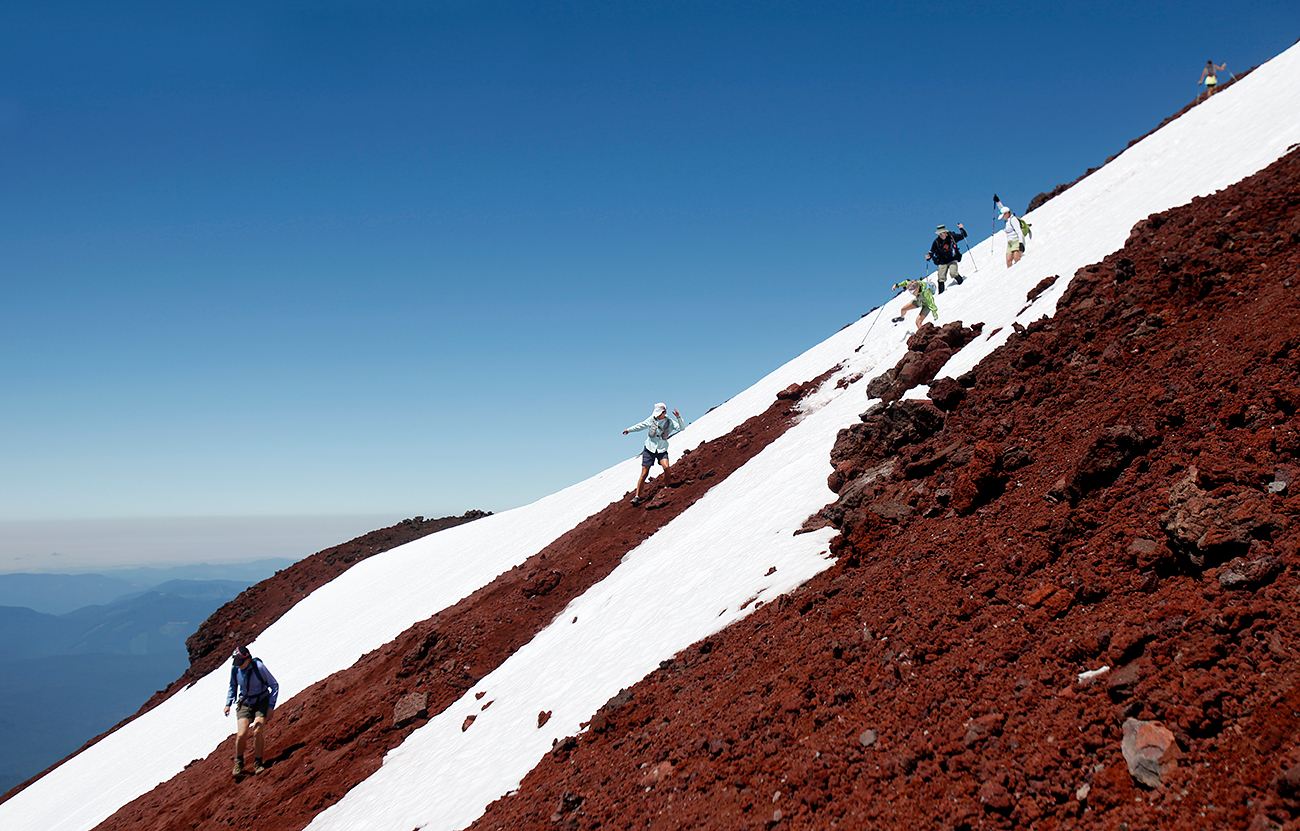
You will also be one of many, sliding and falling down it.
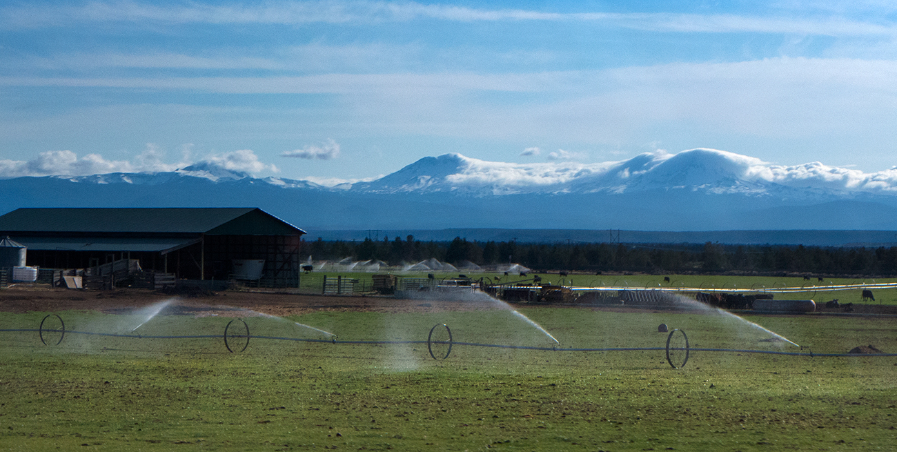
A May ascent is a bit of a different beast. Typically, South Sister remains the province of backcountry skiers this time of year, as the miles of road on Cascade Lakes Highway leading from Mount Bachelor Ski Resort to the trailhead aren't plowed until Memorial Day weekend. This year's extremely dry spring has been a different story. With the highway open early, our plan was to get in a May snowshoe while the going was good.
Clouds rolling over the Three Sisters and Broken Top from Highway 97 the previous day. What could go wrong?
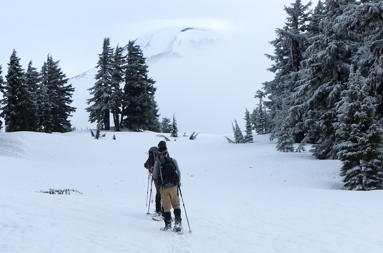
We knew from the forecast that our Saturday morning ascent wasn't going to be under bluebird conditions. Both Mountain Forecast and the National Weather Service had predicted a small amount snow with partly cloudy skies. Not a big deal, so we got some early sleep, woke at 4am and headed out to Devils Lake Trailhead.
Aside from some early slow-going in trying to figure out our route up through the forest, the day seemed to be promising. There were only a few cars parked along the highway, and we spied lots of open sky through the forest canopy, hinting at a great morning of solitude on the mountain.

Fresh snow and no bootpack.
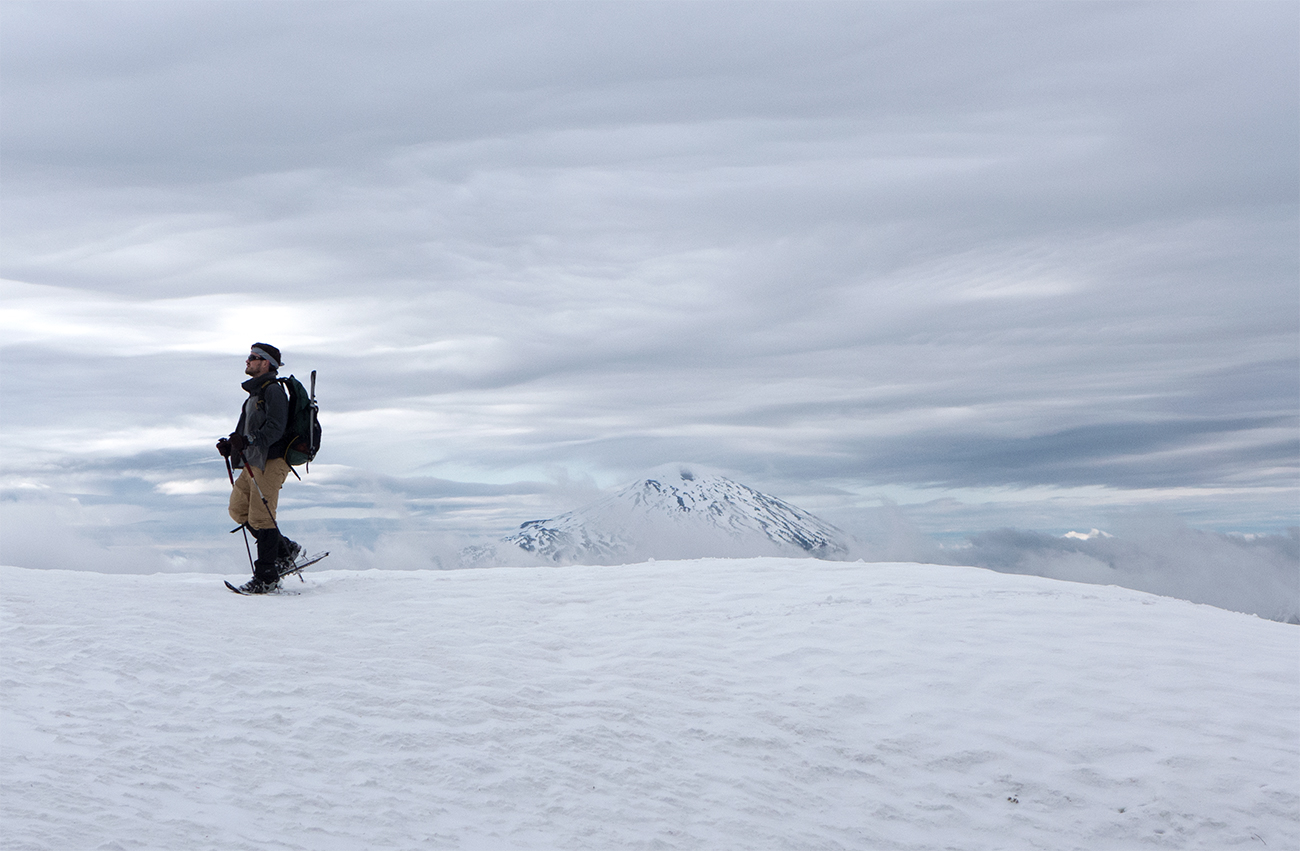
We emerged about an hour later onto the snowy plateau that sits above Moraine Lake. Clouds were rolling in, yet we were treated to our first view of South Sister.
. . . aaaand it's gone.
Moving on a bit further, our first view of Broken Top appeared.
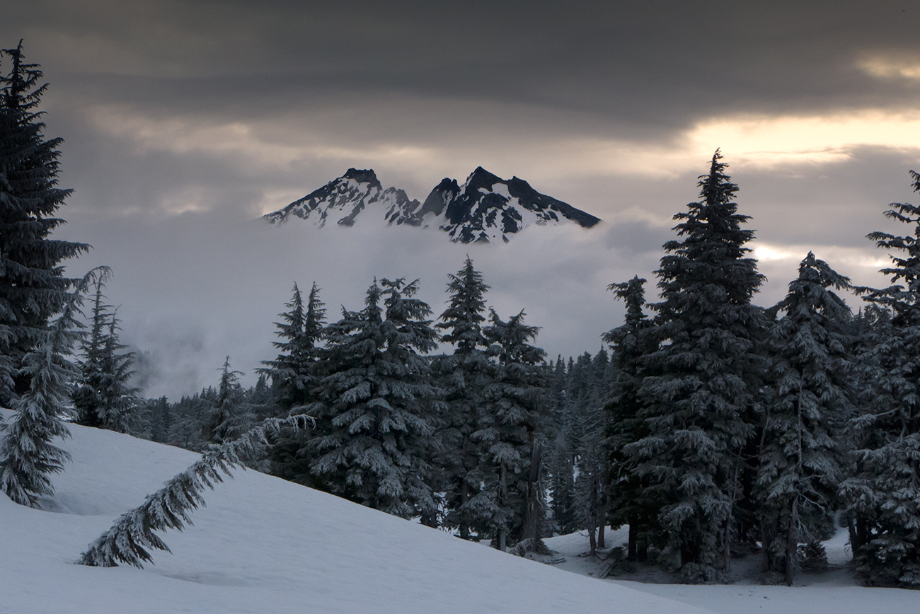
Hi Broken Top!
The plateau, while affording good views (when it was clear), was a rather boring slog of a snowshoe.
Shane with Mount Bachelor in the background.
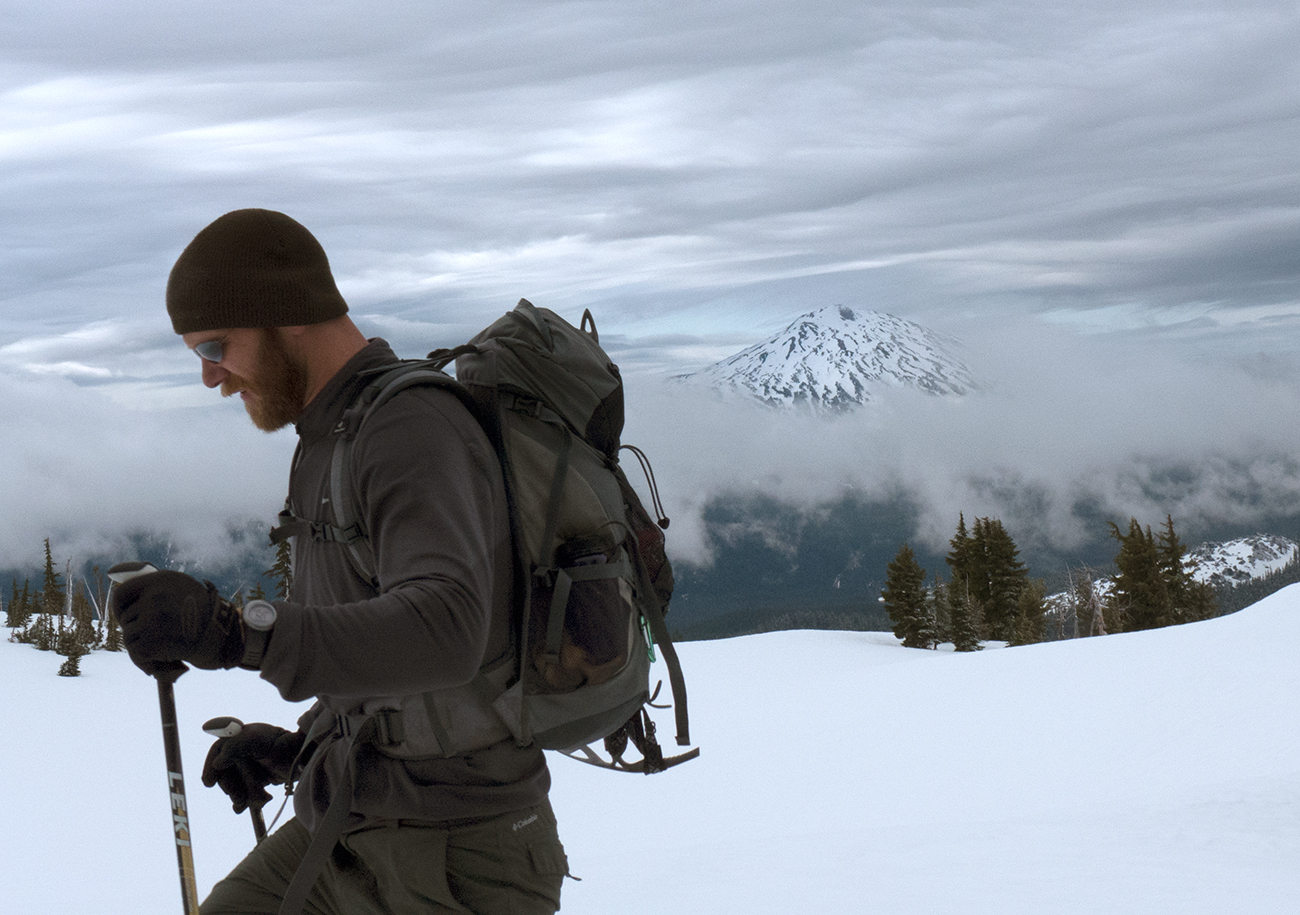
Now Kevin.
As we moved along, clouds started rolling in and the views went away.
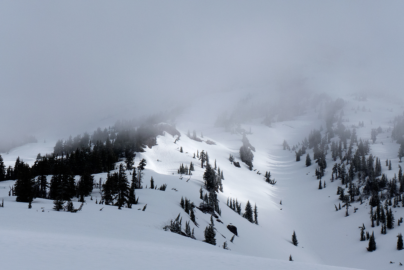
Bye bye snowy ridge.
As we left the plateau and started ascending again, we got to the true route-finding portion of the trip. This wasn't terribly difficult given my previous experience, even though the terrain was snow-covered this time. The real issue was how quickly the clouds were rolling in and the wind and snow picking up. After an hour I started feeling the dizzying effects of vertigo, with the snow blowing sideways as we moved forward. I moved backward in line and concentrated on the backs of Shane's snowshoes until I felt better.

Looking back down a pitch. At this point, there wasn't much to see.
Three hours after our start, we hit the overlook of Lewis Glacier's lake. Mentally for me, this represents the final third of the climb where you spend your last mile ascending another 1200 feet up the scree field to the rim. Of course we couldn't see anything. Hard snow was pelting us pretty good as the winds did nothing but speed up.
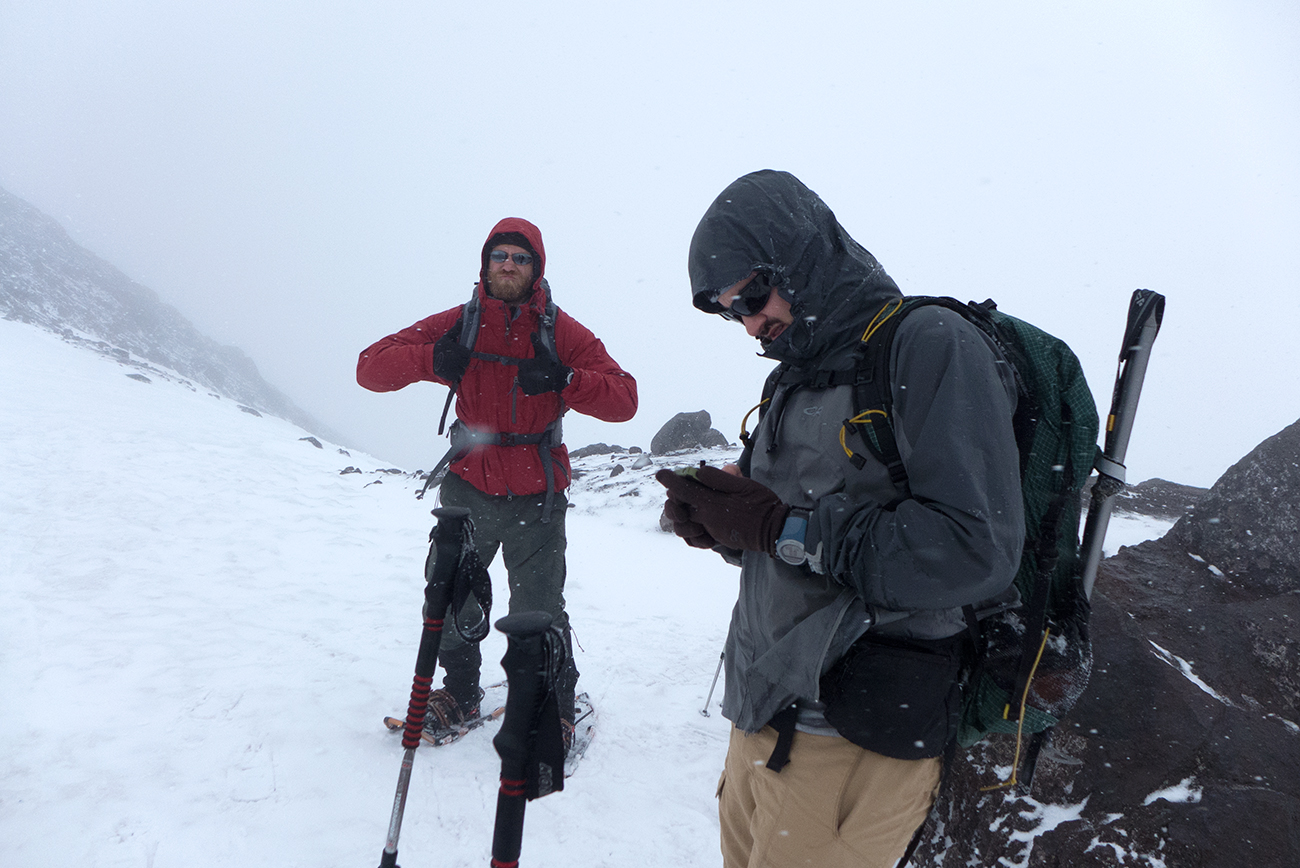
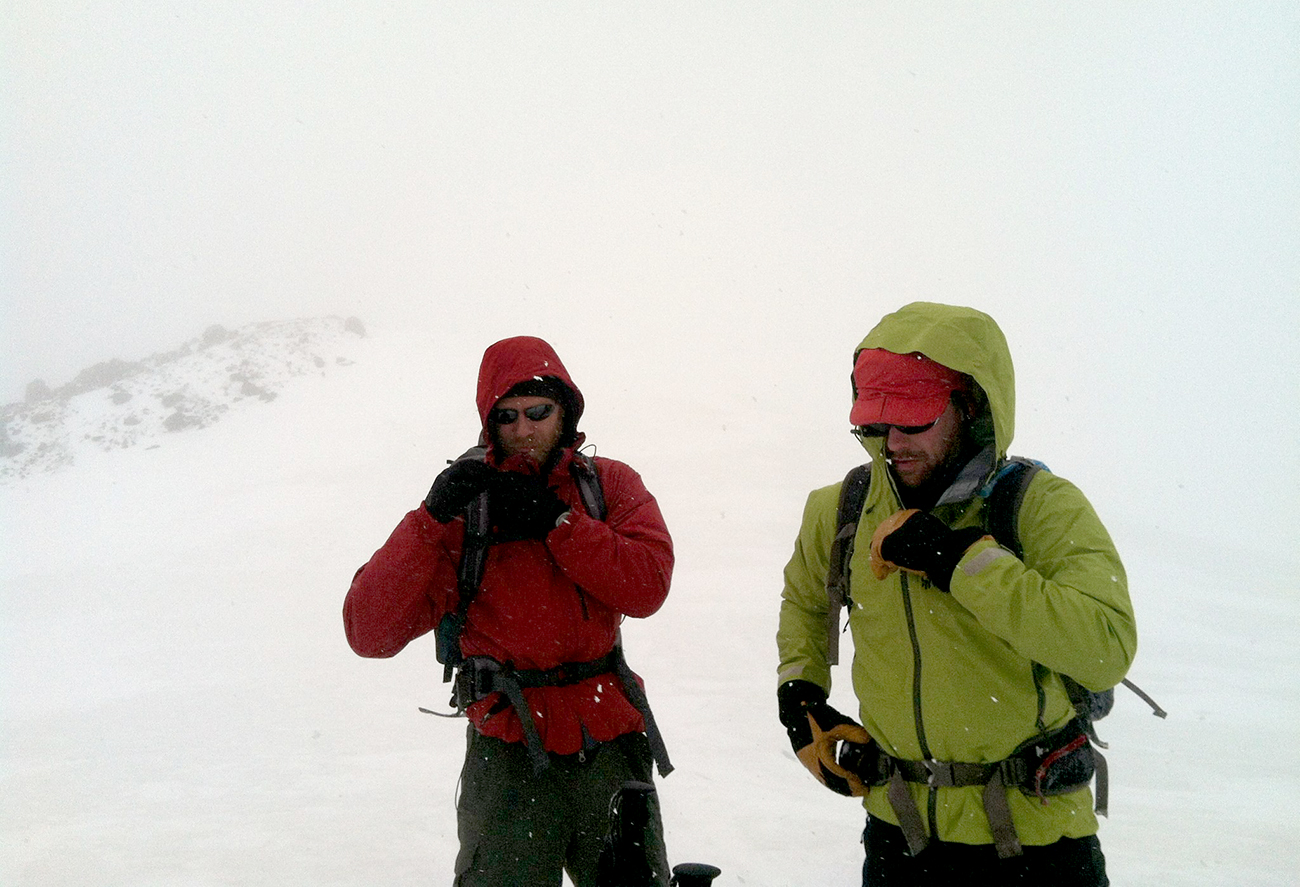
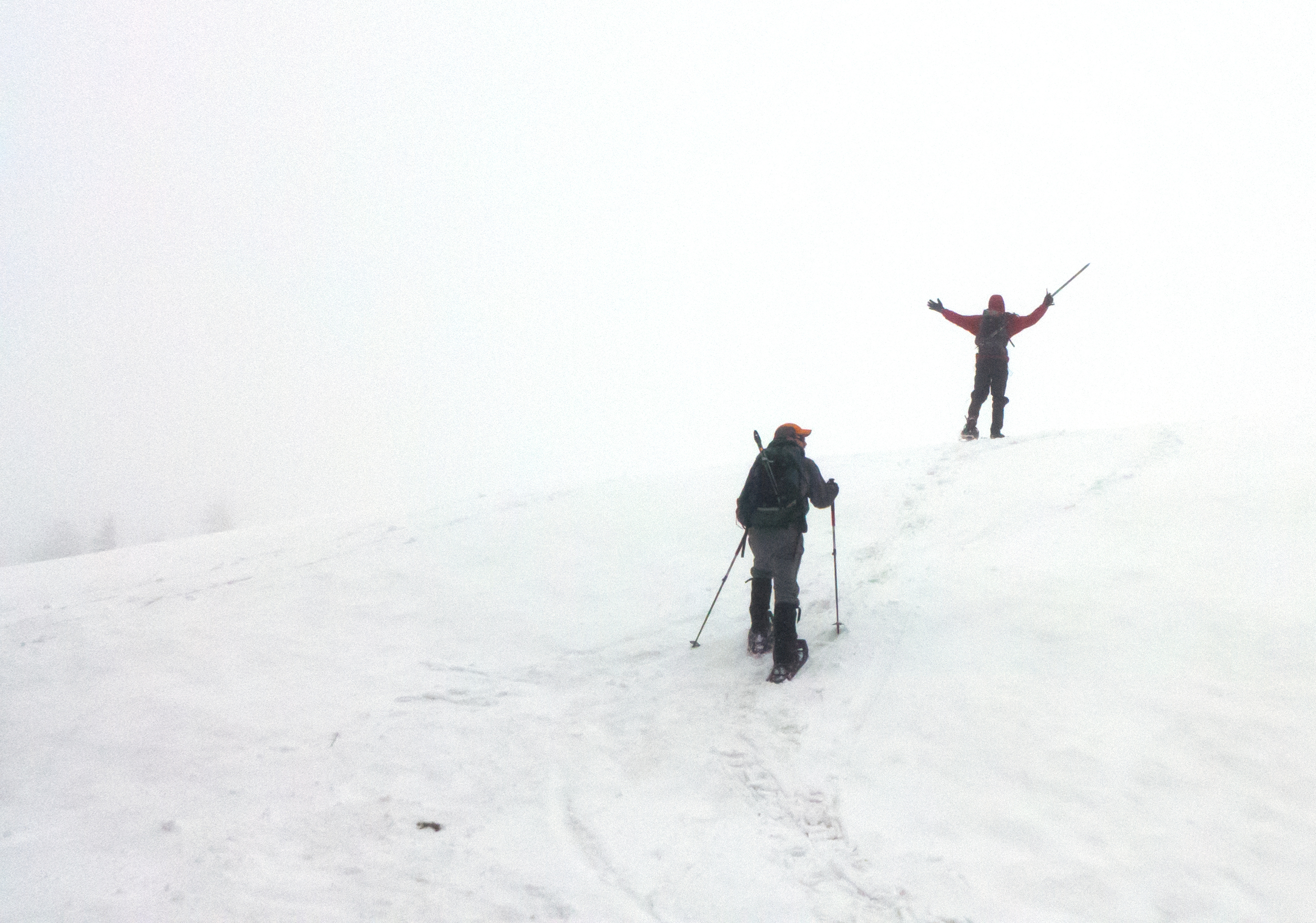
Kevin acting just a bit too excited while Shane checks to see if the forecast would improve at all. It didn't.
Now was time for The Talk.
The conversation that we both do and don't want to have. Should we call it quits? Should we keep going since we're so close? No drama here though, we were all in agreement that there was no point in continuing. The weather wasn't going to get any better, and there would be no views to behold. . . just more wind and snow. On top of that, there were growing concerns about getting down.

Our summit for the day. The views were breathtaking. . . When can I have my turkey sandwich?
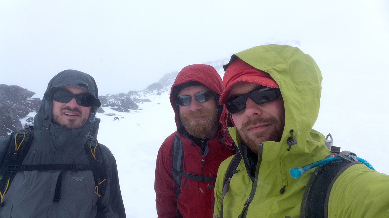
Summit Selfie.
Okay, no more photos. It's getting cold. Photo by Shane.
Most mountaineering accidents occur on the way down. Steep slopes are harder to descend than ascend. Navigation can be much more difficult as well, since rather than moving toward a single point (such as summit), you have the whole side of a mountain spread out in front of you. If you're not careful, you can end up forgetting were you came from, especially if there's a lack of unique visual landmarks to help you. Otherwise you'll start asking yourself, "which ridge did I come up?" or "which slope did I traverse across again?" Trust me, they can all look the same.
Shane descending a frozen runout.
After a bit of delicate descent and navigation, we found some shelter from the storm for lunch. Best turkey sandwich ever.
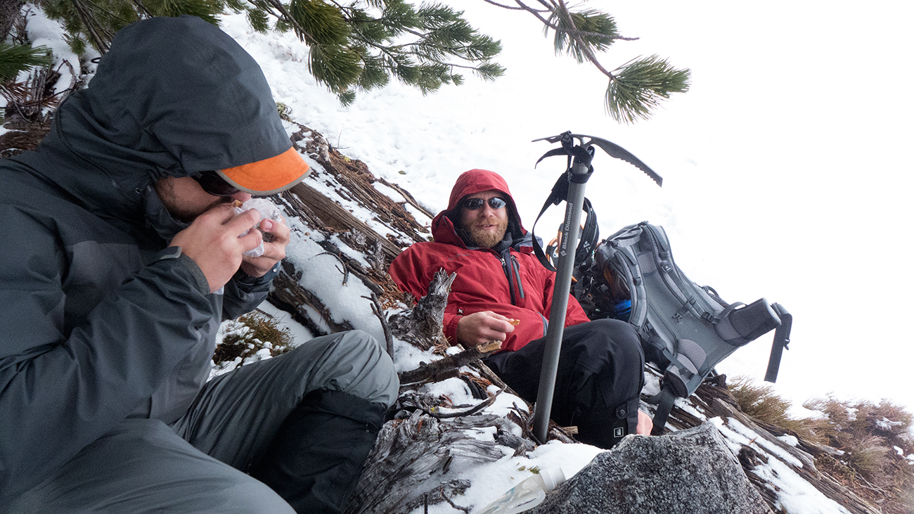
Comfy lunchtime eating.
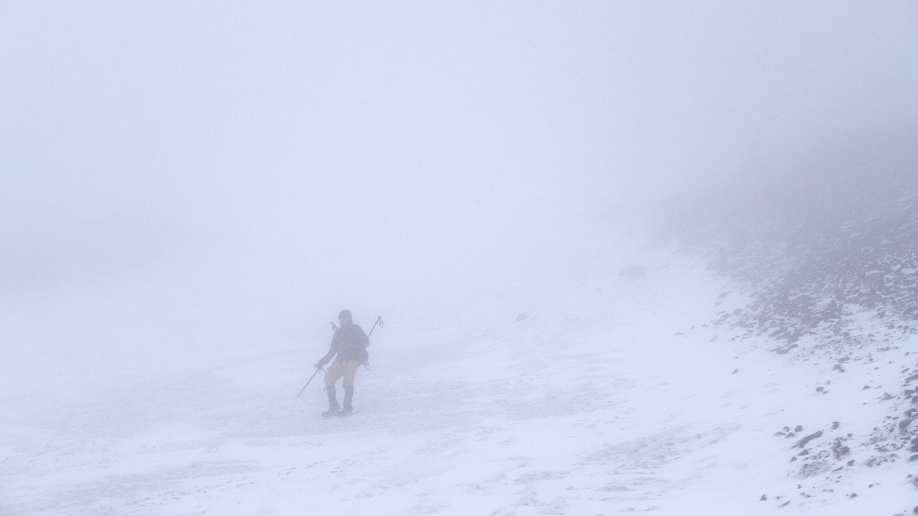
The going stayed slow with the extremely low visibility. It was about as close to a whiteout that I've experienced, creating a most unsettling feeling as we moved. When everything is white, you have no horizon to judge distances or slope angles. You only know what's directly under your two feet. Thankfully we had it slightly better off and were able to make it back to the plateau with no hangups.
Interestingly, we ran into two groups of two, both on their way up as we descended. The first group was intent on summiting despite our warnings about the poor conditions. While I think they should have turned around, I'm a firm believer of never telling someone else what to do on the mountain. You don't know their skill level and experience or what, ultimately, they're trying to accomplish. If someone needs help or is clearly out of their element, that's one thing. But if I see a couple of strong folks moving up the mountain, I get out of the way.
The other group were two skiers who thanked us for creating tracks for them to follow. They were more realistic, choosing to run laps versus a trip to the rim.
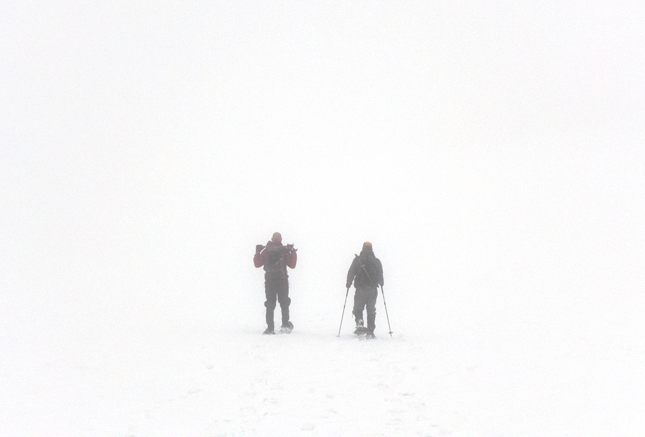
Where are we going again?
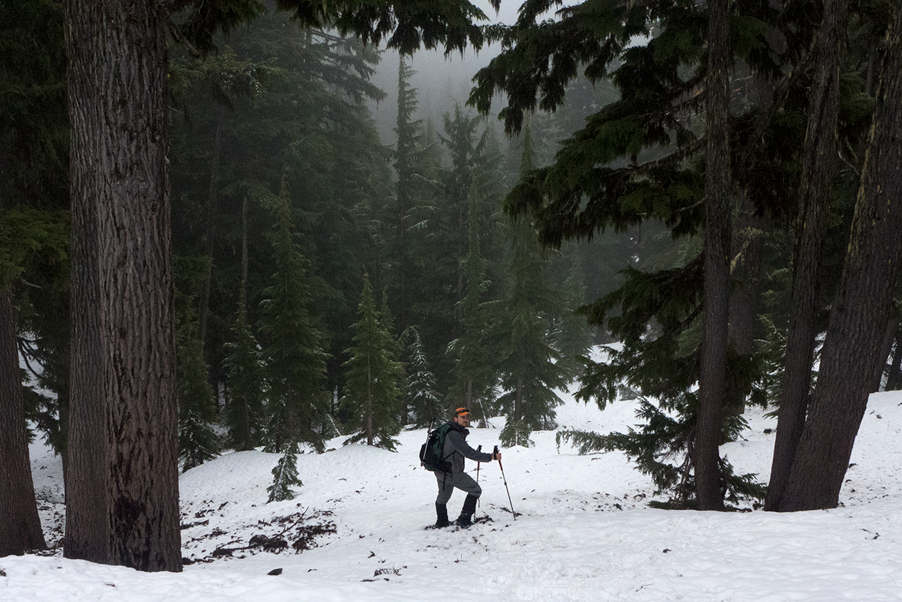
Back at the tree line, and the final slog to the car. Umm, let's just go straight down.
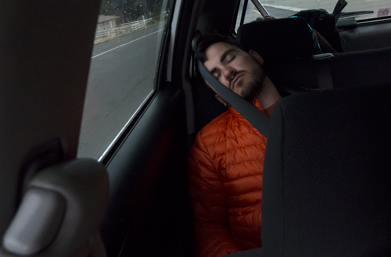
On the drive to my new favorite spot, 10 Barrel Brewing in Bend. Tuckered out.
Of course it was a disappointment to not summit that day, but we had fun and managed a couple nice views before the weather slopped. In fact, the crappy conditions provided me some new knowledge that nice weather never could.
I'll take it.
Not every climb will be perfect, so let's fake it.